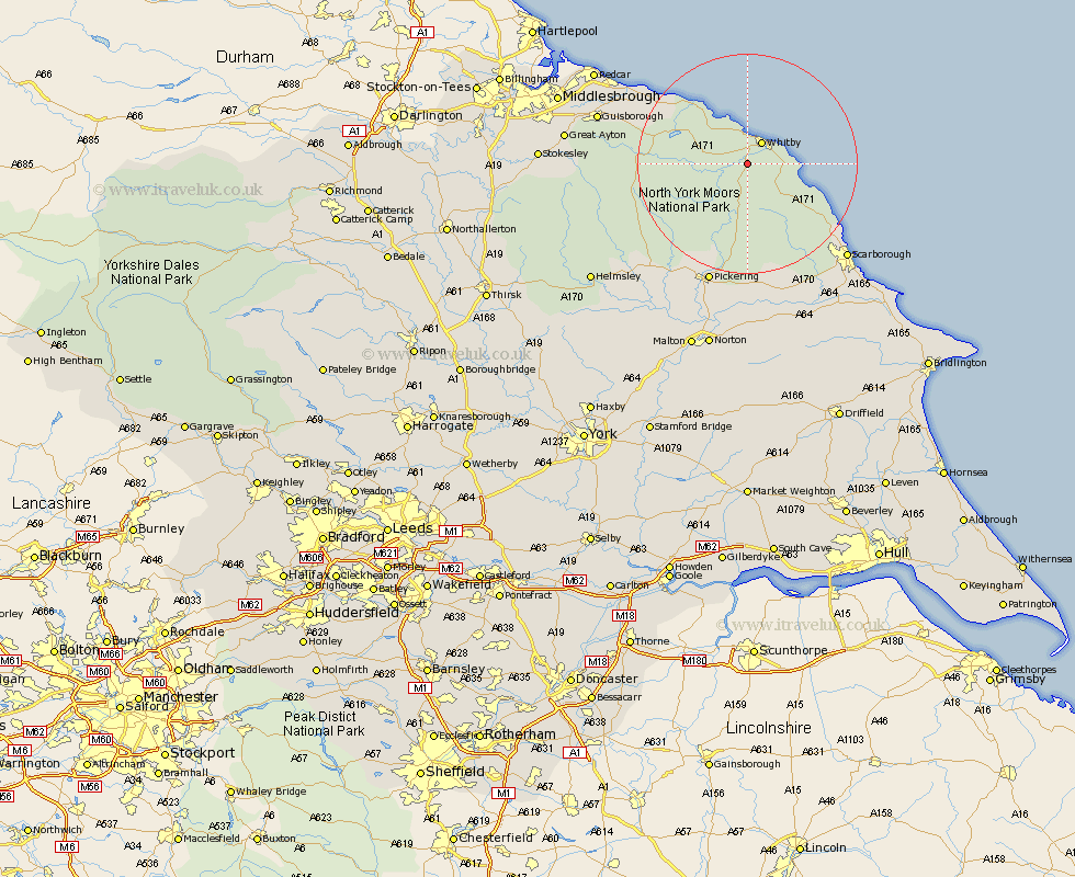
Yorkshire Map Showing Location of Sleights
Population: 2009
Area Size (ha): 81
District: Scarborough
Easting: 486443 Northing: 506900
Latitude: 54.45 Longitude: -0.67
 = Sleights
Area Size (ha): 81
District: Scarborough
Easting: 486443 Northing: 506900
Latitude: 54.45 Longitude: -0.67
= Sleights
This Sleights map below is supplied by Google. Use the tools in the top left corner to zoom into street level or zoom out for a road map, you may also need to zoom in to see Sleights on the map. Click and drag the map to move around. If the map fails to load try and refresh your browser or zoom in or out (+ or -).
Update - it seems Google no longer allow people to use their maps for free! This Sleights map sometimes loads and sometimes gives a error. I am working on a solution.
Closest 30 Towns or Cities to Sleights (Population over 500)
Whitby 4.7km Hawsker 6.47km Fylingdales 9.38km Hinderwell 11.29km Loftus 17.87km Cloughton 19.91km Burniston 21.17km Brotton 21.56km Pickering 23.16km Skelton-in-Cleveland 23.28km Skelton 23.28km Scalby 23.92km Thornton-le-Dale 24.31km Thornton Dale 24.31km Scarborough 24.4km Saltburn by the Sea 25.25km Saltburn-by-the-Sea 25.25km Saltburn 25.25km Guisborough 26.43km Snainton 26.5km Kirkby Moorside 26.72km Kirby Moorside 26.72km Brompton 27.02km Marske-by-the-Sea 27.66km Marske 27.66km Marske by the Sea 27.66km Yedingham 27.99km Ingleby 28.08km Seamer 28.45km Eastfield 29.65km