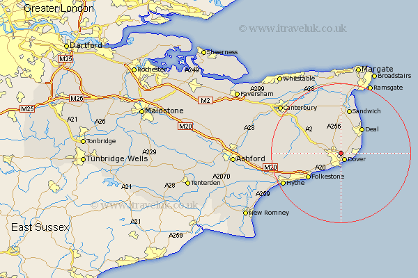
Kent Map Showing Location of Saint Margaret At Cliffe
Population: 2384
Area Size (ha): 104
District: Dover
Easting: 631928 Northing: 144259
Latitude: 51.15 Longitude: 1.32
 = Saint Margaret At Cliffe
Area Size (ha): 104
District: Dover
Easting: 631928 Northing: 144259
Latitude: 51.15 Longitude: 1.32
= Saint Margaret At Cliffe
This Saint Margaret At Cliffe map below is supplied by Google. Use the tools in the top left corner to zoom into street level or zoom out for a road map, you may also need to zoom in to see Saint Margaret At Cliffe on the map. Click and drag the map to move around. If the map fails to load try and refresh your browser or zoom in or out (+ or -).
Update - it seems Google no longer allow people to use their maps for free! This Saint Margaret At Cliffe map sometimes loads and sometimes gives a error. I am working on a solution.
Closest 30 Towns or Cities to Saint Margaret At Cliffe (Population over 500)
Langdon 1.86km West Langdon 1.86km Dover 2.08km Temple Ewell 3.49km Ewell 3.49km River 3.95km Eythorne 4.37km Lydden 4.65km Coldred 5.01km Alkham 6.1km Mongeham 6.56km Great Mongeham 6.56km Kingsdown 6.89km Sibertswold 6.89km Shepherdswell 6.89km Northbourne 7.51km Walmer 8.04km Sholden 8.75km Eastry 9.33km Deal 9.42km Swingfield 9.49km Worth 11.36km Hawkinge 11.85km Folkestone 11.9km Folkstone 11.9km Staple 12.05km Sandwich 13.18km Elham 13.95km Wingham 14.73km Littlebourne 16.66km