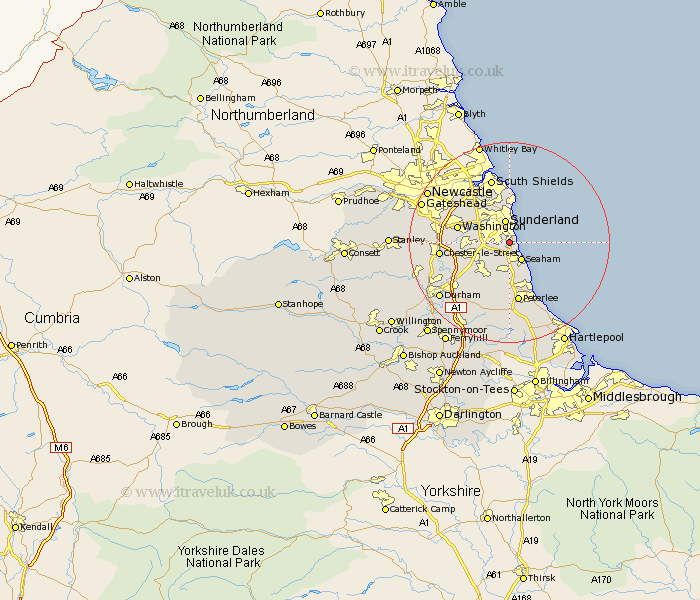
Durham Map Showing Location of Ryhope
District: Sunderland
Easting: 440424 Northing: 553150
Latitude: 54.87 Longitude: -1.37
 = Ryhope
Easting: 440424 Northing: 553150
Latitude: 54.87 Longitude: -1.37
= Ryhope
This Ryhope map below is supplied by Google. Use the tools in the top left corner to zoom into street level or zoom out for a road map, you may also need to zoom in to see Ryhope on the map. Click and drag the map to move around. If the map fails to load try and refresh your browser or zoom in or out (+ or -).
Update - it seems Google no longer allow people to use their maps for free! This Ryhope map sometimes loads and sometimes gives a error. I am working on a solution.
Closest 30 Towns or Cities to Ryhope (Population over 500)
Seaton 4.32km Seaham 4.37km Seaham Harbour 4.37km Sunderland 4.58km Dalton le Dale 6.09km Dalton 6.09km Houghton le Spring 6.63km Murton 6.78km Hetton le Hole 7.95km South Hetton 8.17km Whitburn 9.11km Easington 9.6km Shotton 9.8km Washington New Town 9.91km Washington 9.91km Haswell 10.24km West Rainton 10.31km Marsden 10.6km West Boldon 10.7km Boldon 10.7km Pittington 10.76km Peterlee 12.23km Birtley 12.65km Chester-le-Street 12.81km Jarrow 13.19km Jarrow on Tyne 13.19km Jarrow-on-Tyne 13.19km Sherburn 13.72km Hesleden 13.92km Thornley 14.1km