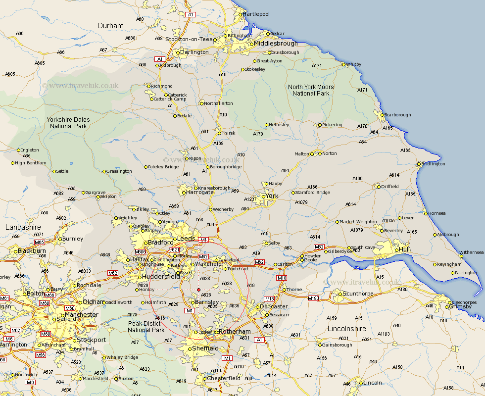
Yorkshire Map Showing Location of Royston
Population: 9419
Area Size (ha): 237
District: Barnsley
Easting: 436393 Northing: 411659
Latitude: 53.6 Longitude: -1.45
 = Royston
Area Size (ha): 237
District: Barnsley
Easting: 436393 Northing: 411659
Latitude: 53.6 Longitude: -1.45
= Royston
This Royston map below is supplied by Google. Use the tools in the top left corner to zoom into street level or zoom out for a road map, you may also need to zoom in to see Royston on the map. Click and drag the map to move around. If the map fails to load try and refresh your browser or zoom in or out (+ or -).
Update - it seems Google no longer allow people to use their maps for free! This Royston map sometimes loads and sometimes gives a error. I am working on a solution.
Closest 30 Towns or Cities to Royston (Population over 500)
Ryhill 2.16km Notton 2.2km Shafton 2.88km Cudworth 4.31km Woolley 4.4km Fitzwilliam 5.75km Darton 5.8km Crofton 5.98km Barnsley 5.98km Hemsworth 6.6km Crigglestone 6.63km Little Houghton 7.82km Bretton 7.92km West Bretton 7.92km Darfield 8.63km Darsfield 8.63km Houghton 8.63km Great Houghton 8.63km Dodworth 9.23km High Ackworth 9.49km Ackworth Moor Top 9.49km Ackworth 9.49km Worsbrough 9.52km Worsborough 9.52km Cawthorne 9.55km Wombwell 9.84km Horbury 9.92km Badsworth 10.07km Moorthorpe 10.07km Ossett 10.69km