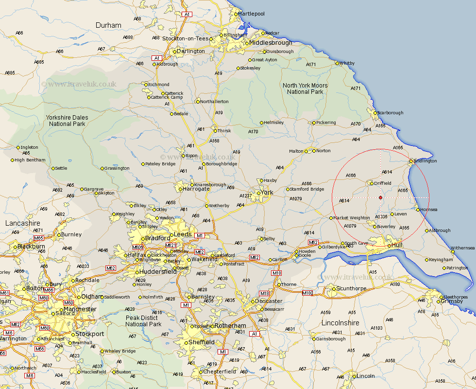
Yorkshire Map Showing Location of Rotsea
Easting: 506084 Northing: 451665
Latitude: 53.95 Longitude: -0.38
 = Rotsea
Latitude: 53.95 Longitude: -0.38
= Rotsea
This Rotsea map below is supplied by Google. Use the tools in the top left corner to zoom into street level or zoom out for a road map, you may also need to zoom in to see Rotsea on the map. Click and drag the map to move around. If the map fails to load try and refresh your browser or zoom in or out (+ or -).
Update - it seems Google no longer allow people to use their maps for free! This Rotsea map sometimes loads and sometimes gives a error. I am working on a solution.
Closest 30 Towns or Cities to Rotsea (Population over 500)
Cranswick 3.27km Brandsburton 6.59km Brandesburton 6.59km North Frodingham 6.8km Driffield 7.1km Nafferton 7.41km Beeford 7.85km Lockington 8.59km Leven 8.61km Dunnington 8.72km Tickton 9.26km Leckonfield 10.24km Leconfield 10.24km Skipsea 11.06km Kilham 11.17km Cherry Burton 12.01km Beverley 13.16km Wetwang 13.22km Woodmansey 14.83km Bishop Burton 15.06km Hornsea 15.24km Wawne 16.82km Great Driffield 17km Skirlaugh Station 17.21km Cottingham 18.54km Sutton-on-Hull 19.04km Sutton on Hull 19.04km Sutton 19.04km Skidby 19.32km Bridlington 19.77km