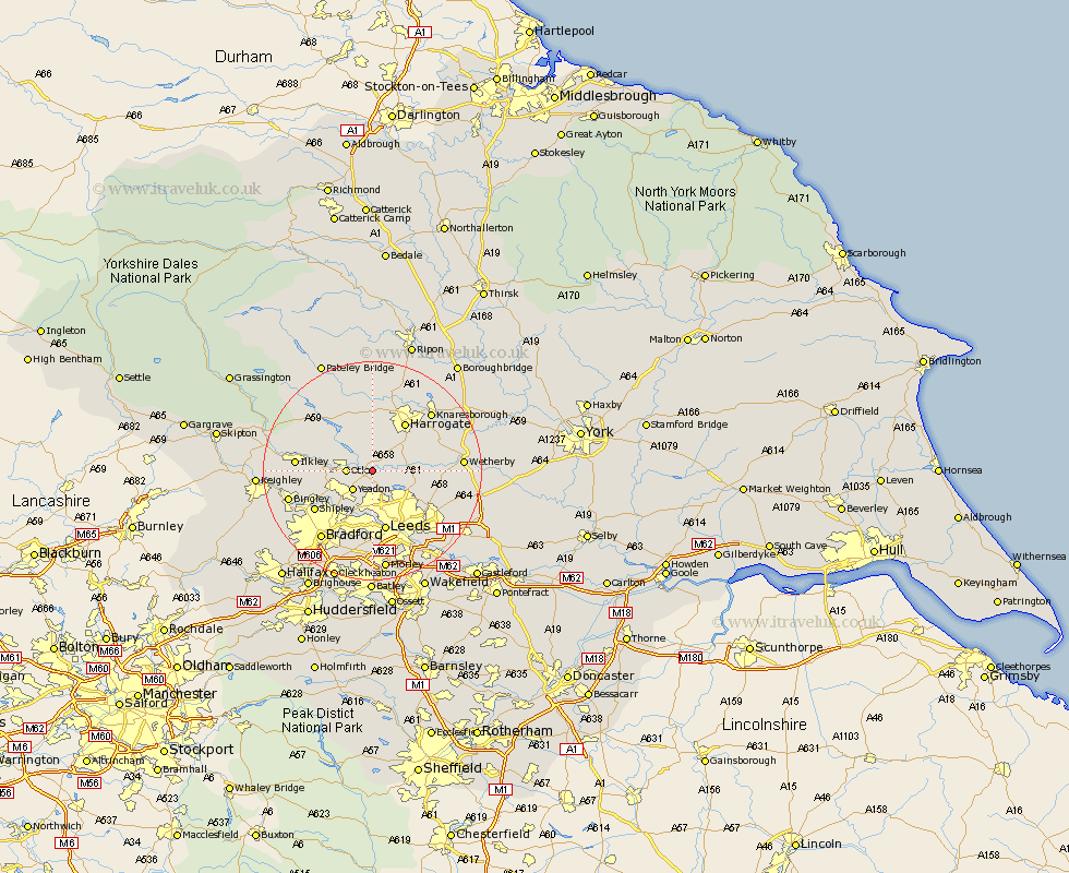
Yorkshire Map Showing Location of Pool
Population: 1785
District: Leeds
Easting: 425184 Northing: 444960
Latitude: 53.9 Longitude: -1.62
 = Pool
District: Leeds
Easting: 425184 Northing: 444960
Latitude: 53.9 Longitude: -1.62
= Pool
This Pool map below is supplied by Google. Use the tools in the top left corner to zoom into street level or zoom out for a road map, you may also need to zoom in to see Pool on the map. Click and drag the map to move around. If the map fails to load try and refresh your browser or zoom in or out (+ or -).
Update - it seems Google no longer allow people to use their maps for free! This Pool map sometimes loads and sometimes gives a error. I am working on a solution.
Closest 30 Towns or Cities to Pool (Population over 500)
Arthington 1.09km Arthington Junction Station 1.09km Bramhope 1.86km Weeton 3.77km Otley 4.37km Yeadon 4.94km Horsforth 7.5km Guiseley 7.53km Harewood 7.64km Pannal 7.79km Menston 7.87km Burley 8.93km Burley in Wharfedale 8.93km Harrogate 10.75km Baildon 11.3km Leeds 11.33km Scarcroft 11.53km East Keswick 11.94km Bardsey 12.16km Shipley 12.32km Hampsthwaite 13.02km Ilkley 13.23km Pudsey 13.38km Killinghall 13.69km Collingham 14.2km Thorner 14.24km Birstwith 14.83km Knaresborough 14.83km Bingley 15.25km Wetherby 15.4km