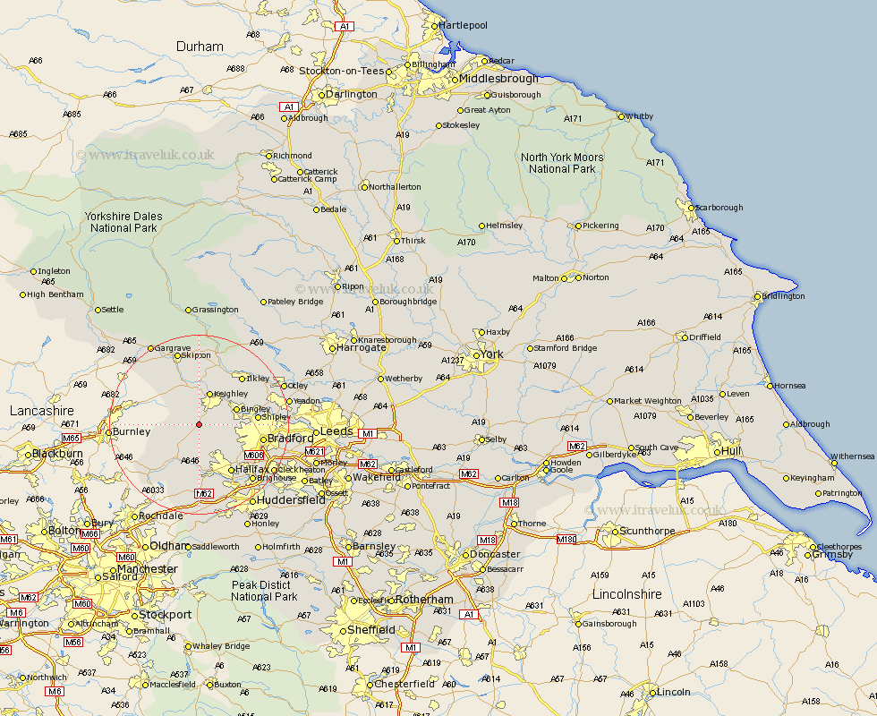
Yorkshire Map Showing Location of Haworth
Population: 4840
Area Size (ha): 97
District: Bradford
Easting: 403291 Northing: 435626
Latitude: 53.82 Longitude: -1.95
 = Haworth
Area Size (ha): 97
District: Bradford
Easting: 403291 Northing: 435626
Latitude: 53.82 Longitude: -1.95
= Haworth
This Haworth map below is supplied by Google. Use the tools in the top left corner to zoom into street level or zoom out for a road map, you may also need to zoom in to see Haworth on the map. Click and drag the map to move around. If the map fails to load try and refresh your browser or zoom in or out (+ or -).
Update - it seems Google no longer allow people to use their maps for free! This Haworth map sometimes loads and sometimes gives a error. I am working on a solution.
Closest 30 Towns or Cities to Haworth (Population over 500)
Oxenhope 1.86km Cullingworth 3.28km Denholme 4.96km Wilsden 5.47km Queensbury 5.98km Steeton 7.41km Keighley 7.72km Sutton-in-Craven 7.72km Bingley 8.5km Hebden Bridge 8.61km Heptonstall 8.61km Silsden 9.33km Glusburn 9.83km Luddenden Foot 11.17km Mytholmroyd 11.33km Cononley 11.95km Shipley 12.17km Baildon 12.59km Halifax 12.92km Bradford 13.65km Addingham 13.68km Ilkley 14.15km Todmorden 14.16km Carlton 14.53km Carleton 14.53km Earby 15.59km Menston 16.03km Cornholme 16.08km Guiseley 16.29km Ripponden 16.68km