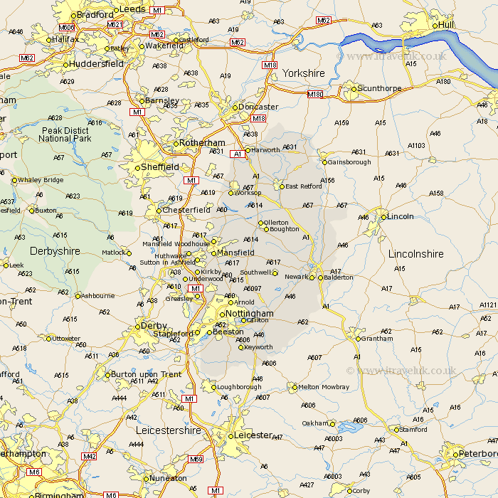
Nottinghamshire Map Showing Location of Nunthorpe
Population: 4705
Easting: 453939 Northing: 513822
Latitude: 54.52 Longitude: -1.17
 = Nunthorpe
Easting: 453939 Northing: 513822
Latitude: 54.52 Longitude: -1.17
= Nunthorpe
This Nunthorpe map below is supplied by Google. Use the tools in the top left corner to zoom into street level or zoom out for a road map, you may also need to zoom in to see Nunthorpe on the map. Click and drag the map to move around. If the map fails to load try and refresh your browser or zoom in or out (+ or -).
Update - it seems Google no longer allow people to use their maps for free! This Nunthorpe map sometimes loads and sometimes gives a error. I am working on a solution.
Closest 30 Towns or Cities to Nunthorpe (Population over 500)
Stainton 5.38km Lowdham 58.46km Misson 119.33km Misterton 120.4km Harworth 122.49km Bircotes 122.55km Walkeringham 124.24km Styrrup 124.29km Mattersey 124.86km Everton 124.98km Gringley on the Hill 125.39km Gringley 125.39km Gringley-on-the-Hill 125.39km Beckingham 126.07km Blyth 128.04km Ranskill 128.25km Ramskill 128.25km Sutton 130.28km Clarborough 130.9km Hayton 130.9km Shireoaks 133.43km East Retford 134.31km Worksop 135.31km North Leverton 135.39km Grove 136.41km Rampton 137.41km Bampton 137.41km Elkesley 139.61km Elksley 139.61km East Markham 142.07km