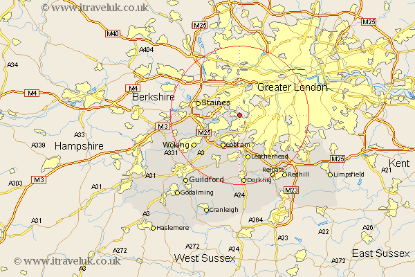
Surrey Map Showing Location of Molesey
Population: 45190
Area Size (ha): 2013
District: Elmbridge
Easting: 514766 Northing: 168120
Latitude: 51.4 Longitude: -0.35
 = Molesey
Area Size (ha): 2013
District: Elmbridge
Easting: 514766 Northing: 168120
Latitude: 51.4 Longitude: -0.35
= Molesey
This Molesey map below is supplied by Google. Use the tools in the top left corner to zoom into street level or zoom out for a road map, you may also need to zoom in to see Molesey on the map. Click and drag the map to move around. If the map fails to load try and refresh your browser or zoom in or out (+ or -).
Update - it seems Google no longer allow people to use their maps for free! This Molesey map sometimes loads and sometimes gives a error. I am working on a solution.
Closest 30 Towns or Cities to Molesey (Population over 500)
Sunbury on Thames 3.47km Sunbury-on-Thames 3.47km Lower Sunbury 3.47km Sunbury 3.47km Claygate 5.56km Esher 5.68km Walton 6.07km Walton upon Thames 6.07km Shepperton 7.18km Weybridge 8.9km Oxshott 9.26km Addlestone 9.97km Church Cobham 10.35km Cobham 10.35km Chertsey 10.57km Byfleet 10.98km Staines 12.14km Leatherhead 13.18km Ottershaw 13.89km Egham 15.14km Tadworth 15.3km Woking 15.74km Banstead 15.74km Ripley 15.94km West Horsley 16.37km Mickleham 16.84km Effingham 17.04km Virginia Water 17.34km East Horsley 17.65km Horsley 17.65km