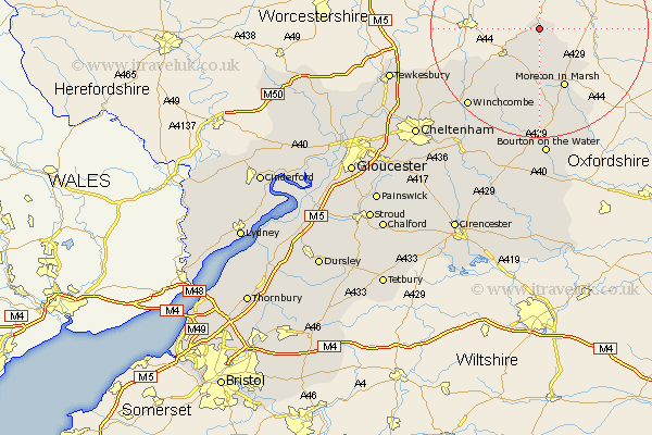
Gloucestershire Map Showing Location of Mickleton
Population: 1533
Area Size (ha): 51
District: Cotswold
Easting: 415986 Northing: 242843
Latitude: 52.08 Longitude: -1.77
 = Mickleton
Area Size (ha): 51
District: Cotswold
Easting: 415986 Northing: 242843
Latitude: 52.08 Longitude: -1.77
= Mickleton
This Mickleton map below is supplied by Google. Use the tools in the top left corner to zoom into street level or zoom out for a road map, you may also need to zoom in to see Mickleton on the map. Click and drag the map to move around. If the map fails to load try and refresh your browser or zoom in or out (+ or -).
Update - it seems Google no longer allow people to use their maps for free! This Mickleton map sometimes loads and sometimes gives a error. I am working on a solution.
Closest 30 Towns or Cities to Mickleton (Population over 500)
Ebrington 4.35km Chipping Campden 5.67km Blockley 7.49km Moreton in Marsh 12.02km Moreton in the Marsh 12.02km Moreton-in-Marsh 12.02km Dumbleton 15.55km Stow on the Wold 16.83km Stow-on-the-Wold 16.83km Winchcomb 19.42km Winchcombe 19.42km Alderton 19.45km Bledington 24.04km Bourton-on-the-Water 24.12km Bourton on the Water 24.12km Bishops Cleeve 25.32km Southam 25.58km Ashchurch 25.67km Andoversford 27.16km Tewkesbury 27.81km Northleach 28.01km Swindon 28.26km Cheltenham 29.76km Withington 30.51km Charlton Kings 31.66km Deerhurst 32.36km Leckhampton 32.41km Staverton 33.06km Chedworth 33.14km Shurdington 33.98km