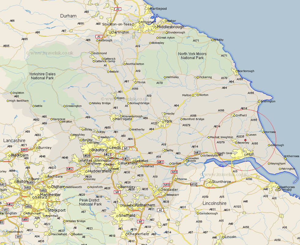
Yorkshire Map Showing Location of Meaux
Easting: 509626 Northing: 440617
Latitude: 53.85 Longitude: -0.33
 = Meaux
Latitude: 53.85 Longitude: -0.33
= Meaux
This Meaux map below is supplied by Google. Use the tools in the top left corner to zoom into street level or zoom out for a road map, you may also need to zoom in to see Meaux on the map. Click and drag the map to move around. If the map fails to load try and refresh your browser or zoom in or out (+ or -).
Update - it seems Google no longer allow people to use their maps for free! This Meaux map sometimes loads and sometimes gives a error. I am working on a solution.
Closest 30 Towns or Cities to Meaux (Population over 500)
Tickton 3.77km Leven 3.86km Woodmansey 4.95km Wawne 5.67km Beverley 5.77km Skirlaugh Station 6.6km Sutton on Hull 7.5km Sutton 7.5km Sutton-on-Hull 7.5km Brandsburton 7.73km Brandesburton 7.73km Leconfield 7.87km Leckonfield 7.87km Cottingham 8.11km Hull 10.37km Cherry Burton 11.09km Bishop Burton 11.09km Lockington 11.3km Skidby 11.47km Willerby 12.02km Hornsea 12.26km Sproatley 12.33km Dunnington 12.39km Preston 12.74km Cranswick 12.91km Kirk Ella 13.5km Beeford 13.69km Anlaby 14.54km Aldbrough 14.69km Kingston upon Hull 14.82km