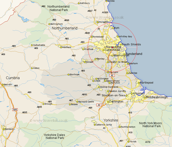
Durham Map Showing Location of Hebburn
Population: 17862
Area Size (ha): 497
District: South Tyneside
Easting: 430940 Northing: 563679
Latitude: 54.97 Longitude: -1.52
 = Hebburn
Area Size (ha): 497
District: South Tyneside
Easting: 430940 Northing: 563679
Latitude: 54.97 Longitude: -1.52
= Hebburn
This Hebburn map below is supplied by Google. Use the tools in the top left corner to zoom into street level or zoom out for a road map, you may also need to zoom in to see Hebburn on the map. Click and drag the map to move around. If the map fails to load try and refresh your browser or zoom in or out (+ or -).
Update - it seems Google no longer allow people to use their maps for free! This Hebburn map sometimes loads and sometimes gives a error. I am working on a solution.
Closest 30 Towns or Cities to Hebburn (Population over 500)
Felling 3.06km Boldon 3.69km West Boldon 3.69km Jarrow 4.48km Jarrow on Tyne 4.48km Jarrow-on-Tyne 4.48km Gateshead 6.88km Gateshead on Tyne 6.88km Gateshead-on-Tyne 6.88km Washington 7.42km Washington New Town 7.42km Lamesley 7.7km Whitburn 9.57km Marsden 9.57km Birtley 9.81km Sunderland 10.47km Ouston 10.5km Ouston Moor 10.5km Whickham 11.27km Blaydon 11.7km Pelton 12.33km Chester-le-Street 13.36km Houghton le Spring 13.36km Burnopfield 14.77km Rowlands Gill 14.91km Edmondsley 14.97km Stanley 16.08km West Rainton 16.71km Seaton 17.11km Hetton le Hole 17.22km