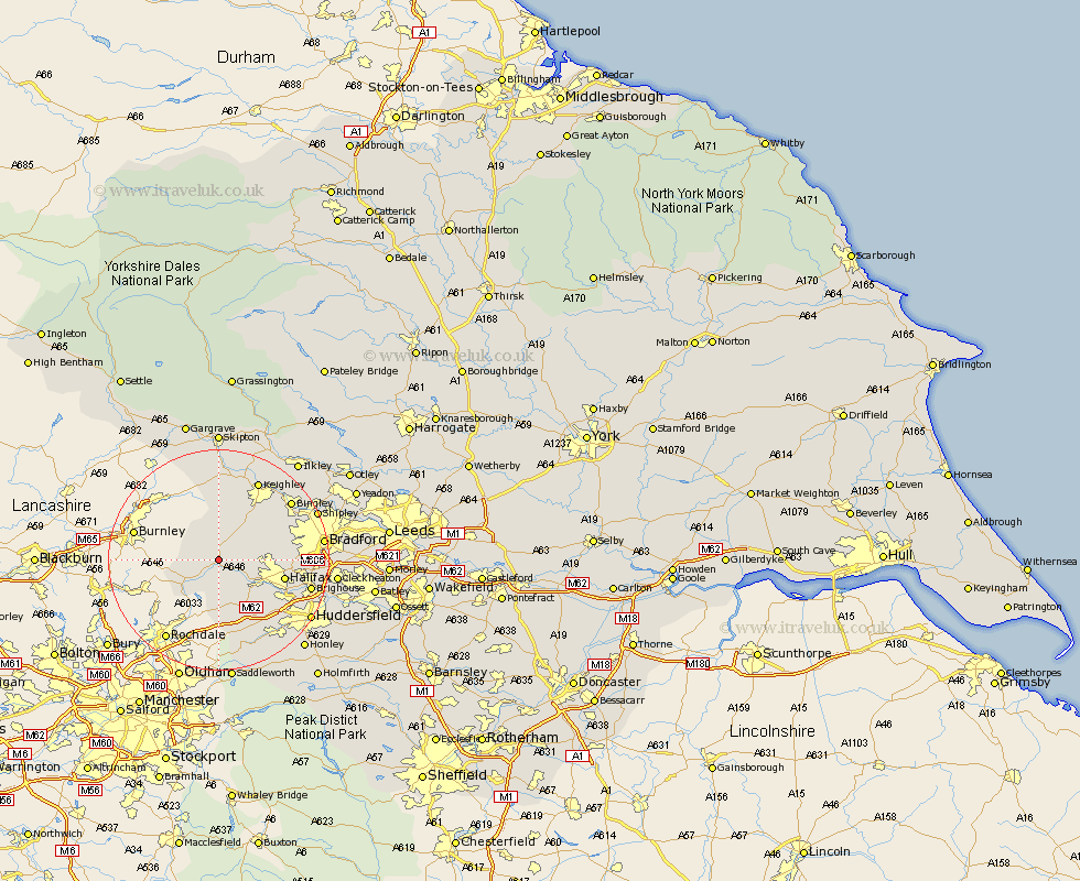
Yorkshire Map Showing Location of Hebden Bridge
Population: 3522
Area Size (ha): 88
District: Calderdale
Easting: 398900 Northing: 428205
Latitude: 53.75 Longitude: -2.02
 = Hebden Bridge
Area Size (ha): 88
District: Calderdale
Easting: 398900 Northing: 428205
Latitude: 53.75 Longitude: -2.02
= Hebden Bridge
This Hebden Bridge map below is supplied by Google. Use the tools in the top left corner to zoom into street level or zoom out for a road map, you may also need to zoom in to see Hebden Bridge on the map. Click and drag the map to move around. If the map fails to load try and refresh your browser or zoom in or out (+ or -).
Update - it seems Google no longer allow people to use their maps for free! This Hebden Bridge map sometimes loads and sometimes gives a error. I am working on a solution.
Closest 30 Towns or Cities to Hebden Bridge (Population over 500)
Mytholmroyd 4.3km Todmorden 5.74km Luddenden Foot 6.62km Queensbury 6.83km Oxenhope 7.08km Denholme 8.52km Haworth 8.61km Cornholme 8.96km Ripponden 10.25km Cullingworth 10.67km Halifax 11.57km Wilsden 12.33km Elland 14.16km Sutton-in-Craven 14.98km Steeton 15.46km Keighley 16.21km Brighouse 16.33km Bingley 16.39km Glusburn 16.72km Silsden 17.55km Bradford 17.91km Cononley 18.54km Shipley 18.85km Huddersfield 18.96km Earby 19.66km Baildon 19.83km Cleckheaton 20.08km Carleton 20.5km Carlton 20.5km Meltham 21.54km