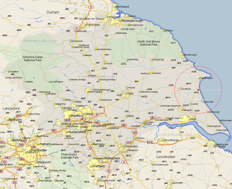
Yorkshire Map Showing Location of Lissett
Easting: 515787 Northing: 457462
Latitude: 54 Longitude: -0.23
 = Lissett
Latitude: 54 Longitude: -0.23
= Lissett
This Lissett map below is supplied by Google. Use the tools in the top left corner to zoom into street level or zoom out for a road map, you may also need to zoom in to see Lissett on the map. Click and drag the map to move around. If the map fails to load try and refresh your browser or zoom in or out (+ or -).
Update - it seems Google no longer allow people to use their maps for free! This Lissett map sometimes loads and sometimes gives a error. I am working on a solution.
Closest 30 Towns or Cities to Lissett (Population over 500)
Skipsea 3.86km Beeford 4.3km Dunnington 5.67km Nafferton 9.98km Brandesburton 10.24km Brandsburton 10.24km Kilham 10.33km Bridlington 10.69km Hornsea 11.95km Driffield 13.09km Flamborough 13.48km Leven 14.08km Cranswick 14.21km Bempton 15.45km North Frodingham 16.76km Great Driffield 17.15km Tickton 17.78km Hunmanby 19.32km Lockington 19.78km Skirlaugh Station 20.41km Leconfield 20.52km Leckonfield 20.52km Aldbrough 21.77km Wetwang 21.79km Beverley 22.09km Woodmansey 22.63km Cherry Burton 22.9km Wawne 23.52km Filey 23.63km Walkington 23.66km