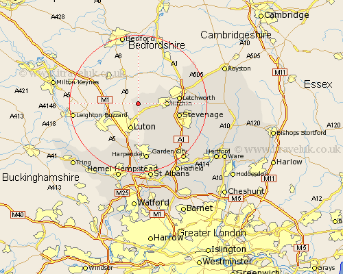
Hertfordshire Map Showing Location of Hexton
Population: 134
District: North Hertfordshire
Easting: 511094 Northing: 229227
Latitude: 51.95 Longitude: -0.38
 = Hexton
District: North Hertfordshire
Easting: 511094 Northing: 229227
Latitude: 51.95 Longitude: -0.38
= Hexton
This Hexton map below is supplied by Google. Use the tools in the top left corner to zoom into street level or zoom out for a road map, you may also need to zoom in to see Hexton on the map. Click and drag the map to move around. If the map fails to load try and refresh your browser or zoom in or out (+ or -).
Update - it seems Google no longer allow people to use their maps for free! This Hexton map sometimes loads and sometimes gives a error. I am working on a solution.
Closest 30 Towns or Cities to Hexton (Population over 500)
Pirton 4.57km Great Offley 5.05km Offley 5.05km Hitchin 8km Ickleford 8.21km Letchworth 11.57km Great Wymondley 11.57km Wymondley 11.57km Stevenage 12.01km Graveley 12.7km Kimpton 13.07km Markyate 13.76km Markyatestreet 13.76km Baldock 14.19km Weston 14.85km Codicote 15.15km Flamstead 15.21km Harpenden 16.84km Welwyn 17.3km Walkern 17.54km Aston 17.64km Knebworth 17.66km Wheathampstead 18.04km Ashwell 18.47km Redbourn 18.54km Datchworth 19.49km Great Gaddesden 20.19km Little Gaddesden 20.23km Cottered 20.65km Benington 20.8km