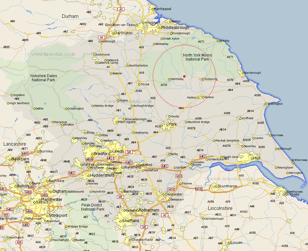
Yorkshire Map Showing Location of Kirby Moorside
Population: 2622
Area Size (ha): 85
District: Ryedale
Easting: 469463 Northing: 486213
Latitude: 54.27 Longitude: -0.93
 = Kirby Moorside
Area Size (ha): 85
District: Ryedale
Easting: 469463 Northing: 486213
Latitude: 54.27 Longitude: -0.93
= Kirby Moorside
This Kirby Moorside map below is supplied by Google. Use the tools in the top left corner to zoom into street level or zoom out for a road map, you may also need to zoom in to see Kirby Moorside on the map. Click and drag the map to move around. If the map fails to load try and refresh your browser or zoom in or out (+ or -).
Update - it seems Google no longer allow people to use their maps for free! This Kirby Moorside map sometimes loads and sometimes gives a error. I am working on a solution.
Closest 30 Towns or Cities to Kirby Moorside (Population over 500)
Nawton 4.93km Helmsley 8.86km Pickering 10.98km Slingsby 13.02km Ampleforth 14.03km Thornton Dale 14.56km Thornton-le-Dale 14.56km Terrington 16.82km Malton 16.86km Norton 18.07km Rillington 19.97km Sheriff Hutton 20.85km Ingleby 21.44km Yedingham 21.88km Stillington 22.04km Snainton 23.41km Easingwold 24.07km Huby 24.19km Strensall 24.96km Great Broughton 25.38km Raskelf 25.38km Brompton 25.52km Osmotherley 26.25km Whorlton 26.45km Thirsk 26.58km Sleights 26.72km Stokesley 28.16km Alne 28.23km Seamer 28.84km Tollerton 28.89km