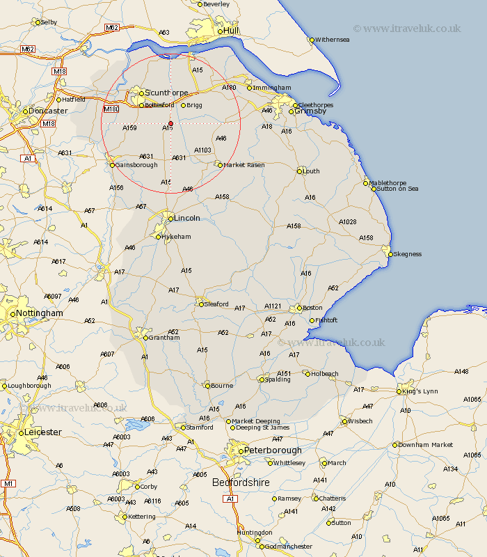
Lincolnshire Map Showing Location of Hibaldstow
Population: 1755
Area Size (ha): 51
Easting: 497275 Northing: 401395
Latitude: 53.5 Longitude: -0.53
 = Hibaldstow
Area Size (ha): 51
Easting: 497275 Northing: 401395
Latitude: 53.5 Longitude: -0.53
= Hibaldstow
This Hibaldstow map below is supplied by Google. Use the tools in the top left corner to zoom into street level or zoom out for a road map, you may also need to zoom in to see Hibaldstow on the map. Click and drag the map to move around. If the map fails to load try and refresh your browser or zoom in or out (+ or -).
Update - it seems Google no longer allow people to use their maps for free! This Hibaldstow map sometimes loads and sometimes gives a error. I am working on a solution.
Closest 30 Towns or Cities to Hibaldstow (Population over 500)
Scawby 3.7km Waddingham 5.67km Kirton 5.76km Kirton in Lindsey 5.76km Brigg 6.47km Broughton 7.5km South Kelsey 7.58km North Kelsey 7.94km Messingham 8.56km Scotton 8.56km Wrawby 8.63km Scotter 9.01km Bottesford 9.51km Barnetby le Wold 11.52km Barnetby 11.52km Scunthorpe 12.05km Appleby 13.16km Blyton 14.22km Caistor 14.45km Nettleton 14.45km West Butterwick 15.36km Owston Ferry 15.55km Owston 15.55km Burringham 16.13km Gunness 16.14km Gunhouse 16.14km Flixborough 16.33km Middle Rasen 17.04km Winterton 17.25km Keadby 17.27km