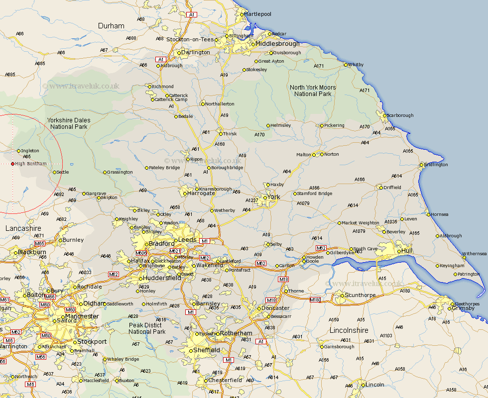
Yorkshire Map Showing Location of High Bentham
Population: 2475
Area Size (ha): 57
District: Craven
Easting: 367307 Northing: 467258
Latitude: 54.1 Longitude: -2.5
 = High Bentham
Area Size (ha): 57
District: Craven
Easting: 367307 Northing: 467258
Latitude: 54.1 Longitude: -2.5
= High Bentham
This High Bentham map below is supplied by Google. Use the tools in the top left corner to zoom into street level or zoom out for a road map, you may also need to zoom in to see High Bentham on the map. Click and drag the map to move around. If the map fails to load try and refresh your browser or zoom in or out (+ or -).
Update - it seems Google no longer allow people to use their maps for free! This High Bentham map sometimes loads and sometimes gives a error. I am working on a solution.
Closest 30 Towns or Cities to High Bentham (Population over 500)
Burton in Lonsdale 4.29km Ingleton 5.97km Clapham 7.61km Settle 15.66km Giggleswick 16.21km Long Preston 19.75km Hellifield 22.6km Gargrave 29.16km Hawes 29.59km Threshfield 32.02km Earby 32.29km Grassington 33.9km Carlton 34.75km Carleton 34.75km Skipton 34.87km Embsay 36.85km Bradley 37.07km Cononley 37.59km Glusburn 39.53km Sutton-in-Craven 41.49km Silsden 43.2km Steeton 43.28km Addingham 44.35km Keighley 45.11km Cornholme 46.78km Haworth 47.82km Bewerley 47.86km Middleham 48.91km Oxenhope 49.07km Ilkley 49.08km