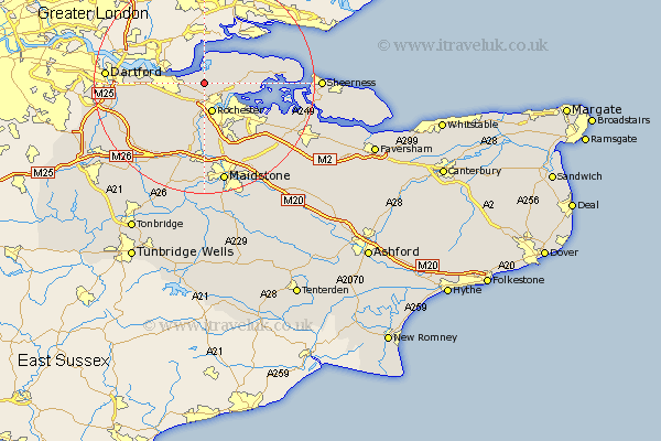
Kent Map Showing Location of Higham
Population: 2603
Area Size (ha): 69
District: Gravesham
Easting: 571439 Northing: 173418
Latitude: 51.43 Longitude: 0.47
 = Higham
Area Size (ha): 69
District: Gravesham
Easting: 571439 Northing: 173418
Latitude: 51.43 Longitude: 0.47
= Higham
This Higham map below is supplied by Google. Use the tools in the top left corner to zoom into street level or zoom out for a road map, you may also need to zoom in to see Higham on the map. Click and drag the map to move around. If the map fails to load try and refresh your browser or zoom in or out (+ or -).
Update - it seems Google no longer allow people to use their maps for free! This Higham map sometimes loads and sometimes gives a error. I am working on a solution.
Closest 30 Towns or Cities to Higham (Population over 500)
Shorne 4.37km Rochester 5.73km High Halstow 5.78km Strood 6.02km Chatham 6.55km Gravesend 6.93km Cobham 7.23km Hoo 7.86km Gillingham 8.9km Northfleet 9.24km Cuxton 9.33km Meopham 10.15km Swanscombe 10.4km Stoke 10.4km Southfleet 11.04km Wouldham 11.12km Longfield 11.8km Stonewood 12.71km Hartley 12.77km Burham 13.02km Snodland 13.17km Allhallows 13.24km Upchurch 14.72km Ash 14.82km Ridley 15.23km Lower Halstow 15.73km Ryarsh 15.91km Darenth 16.28km Newington 16.68km Aylesford 16.72km