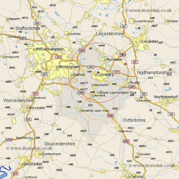
Warwickshire Map Showing Location of Keresley
Population: 791
District: Coventry
Easting: 431723 Northing: 281846
Latitude: 52.43 Longitude: -1.53
 = Keresley
District: Coventry
Easting: 431723 Northing: 281846
Latitude: 52.43 Longitude: -1.53
= Keresley
This Keresley map below is supplied by Google. Use the tools in the top left corner to zoom into street level or zoom out for a road map, you may also need to zoom in to see Keresley on the map. Click and drag the map to move around. If the map fails to load try and refresh your browser or zoom in or out (+ or -).
Update - it seems Google no longer allow people to use their maps for free! This Keresley map sometimes loads and sometimes gives a error. I am working on a solution.
Closest 30 Towns or Cities to Keresley (Population over 500)
Keresley 0km Allesley 2.16km Coventry 2.16km Corley 2.17km Fillongley 5.03km Meriden 5.65km Bedworth 5.85km Berkswell 7.73km Berkeswell 7.73km Baginton 8.15km Arley 8.15km Bulkington 8.73km Shilton 9.23km Stoneleigh 9.33km Kenilworth 9.86km Shustoke 10.04km Nuneaton 10.31km Hampton in Arden 11.45km Brandon 11.69km Bubbenhall 12km Bickenhill 12.56km Temple Balsall 12.59km Wolston 12.59km Wolvey 12.59km Brinklow 12.97km Coleshill 13.51km Nether Whitacre 13.64km Hurley 14.64km Knowle 14.66km Leamington Spa 14.82km