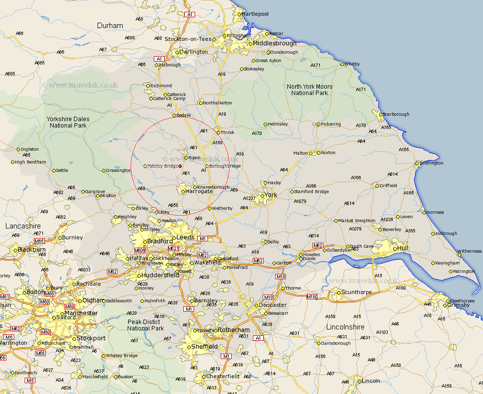
Yorkshire Map Showing Location of Ingerthorpe
District: Harrogate
Easting: 429435 Northing: 465378
Latitude: 54.08 Longitude: -1.55
 = Ingerthorpe
Easting: 429435 Northing: 465378
Latitude: 54.08 Longitude: -1.55
= Ingerthorpe
This Ingerthorpe map below is supplied by Google. Use the tools in the top left corner to zoom into street level or zoom out for a road map, you may also need to zoom in to see Ingerthorpe on the map. Click and drag the map to move around. If the map fails to load try and refresh your browser or zoom in or out (+ or -).
Update - it seems Google no longer allow people to use their maps for free! This Ingerthorpe map sometimes loads and sometimes gives a error. I am working on a solution.
Closest 30 Towns or Cities to Ingerthorpe (Population over 500)
Bishop Monkton 3.26km Monkton 3.26km Burton Leonard 3.75km Ripon 4.3km Birstwith 7.06km Killinghall 7.41km Hampsthwaite 8.09km Boroughbridge 9.78km Knaresborough 10.74km Harrogate 11.17km Darley 11.26km Kirkby Malzeard 11.33km Dishforth 11.42km Dacre 11.49km Marton le Moor 12.1km Marton 12.1km Grewelthorpe 12.89km West Tanfield 13.02km Tanfield 13.02km Bewerley 14.13km Pannal 14.86km Topcliffe 15.54km Ouseburn 15.67km Great Ouseburn 15.67km Masham 16.2km Whixley 16.94km Weeton 18.56km Green Hammerton 18.77km Hammerton 19.75km Kirk Hammerton 19.75km