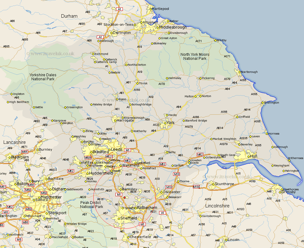
Yorkshire Map Showing Location of Hoyland
Population: 15356
Area Size (ha): 338
District: Barnsley
Easting: 436479 Northing: 400535
Latitude: 53.5 Longitude: -1.45
 = Hoyland
Area Size (ha): 338
District: Barnsley
Easting: 436479 Northing: 400535
Latitude: 53.5 Longitude: -1.45
= Hoyland
This Hoyland map below is supplied by Google. Use the tools in the top left corner to zoom into street level or zoom out for a road map, you may also need to zoom in to see Hoyland on the map. Click and drag the map to move around. If the map fails to load try and refresh your browser or zoom in or out (+ or -).
Update - it seems Google no longer allow people to use their maps for free! This Hoyland map sometimes loads and sometimes gives a error. I am working on a solution.
Closest 30 Towns or Cities to Hoyland (Population over 500)
Tankersley 2.16km Birdwell 2.2km Worsborough 2.88km Worsbrough 2.88km Wombwell 3.79km Wentworth 4.31km Darfield 5.76km Darsfield 5.76km Wortley 5.82km Barnsley 5.98km Wath 6.61km Wath on Dearne 6.61km Wath upon Dearne 6.61km Wath-on-Dearne 6.61km Dodworth 6.64km Ecclesfield 7.5km Cudworth 7.74km Little Houghton 7.83km Silkstone 8.56km Great Houghton 8.64km Houghton 8.64km Swinton 9.01km Rawmarsh 9.51km Shafton 9.52km Wharncliffe 9.94km Oughtibridge 9.94km Wharncliffe Side 9.94km Rotherham 9.94km Rotherdam 9.94km Stocksbridge 10.1km