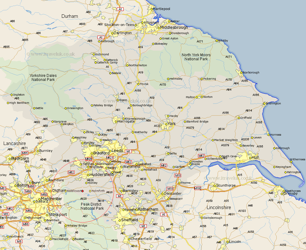
Yorkshire Map Showing Location of Holme
Population: 25049
District: Kirklees
Easting: 411041 Northing: 405969
Latitude: 53.55 Longitude: -1.83
 = Holme
District: Kirklees
Easting: 411041 Northing: 405969
Latitude: 53.55 Longitude: -1.83
= Holme
This Holme map below is supplied by Google. Use the tools in the top left corner to zoom into street level or zoom out for a road map, you may also need to zoom in to see Holme on the map. Click and drag the map to move around. If the map fails to load try and refresh your browser or zoom in or out (+ or -).
Update - it seems Google no longer allow people to use their maps for free! This Holme map sometimes loads and sometimes gives a error. I am working on a solution.
Closest 30 Towns or Cities to Holme (Population over 500)
Meltham 3.86km Holmfirth 4.4km Honley 5.98km Dunford Bridge 6.64km Shepley 8.55km Saddleworth 9.91km Kirkburton 10.41km Denby Dale 11.16km Shelley 11.36km Huddersfield 11.6km Penistone 14.79km Elland 14.82km Ripponden 15.09km Emley 15.14km Mirfield 16.32km Cawthorne 16.62km Brighouse 17km Stocksbridge 17.12km Silkstone 17.72km Halifax 18.57km Liversedge 18.86km Middlestown 18.99km Middletown 18.99km West Bretton 19.1km Bretton 19.1km Luddenden Foot 19.67km Dodworth 19.91km Heckmondwike 19.97km Cleckheaton 20.07km Darton 20.15km