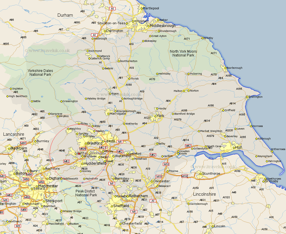
Yorkshire Map Showing Location of Hipperholme
District: Calderdale
Easting: 412097 Northing: 424516
Latitude: 53.72 Longitude: -1.82
 = Hipperholme
Easting: 412097 Northing: 424516
Latitude: 53.72 Longitude: -1.82
= Hipperholme
This Hipperholme map below is supplied by Google. Use the tools in the top left corner to zoom into street level or zoom out for a road map, you may also need to zoom in to see Hipperholme on the map. Click and drag the map to move around. If the map fails to load try and refresh your browser or zoom in or out (+ or -).
Update - it seems Google no longer allow people to use their maps for free! This Hipperholme map sometimes loads and sometimes gives a error. I am working on a solution.
Closest 30 Towns or Cities to Hipperholme (Population over 500)
Halifax 2.19km Brighouse 2.87km Elland 3.87km Cleckheaton 6.58km Luddenden Foot 7.68km Huddersfield 7.74km Liversedge 7.9km Bradford 8.61km Queensbury 8.61km Denholme 9.21km Heckmondwike 10.05km Ripponden 10.39km Mirfield 10.39km Mytholmroyd 10.97km Wilsden 11.6km Pudsey 12.33km Cullingworth 12.4km Oxenhope 12.75km Honley 13.02km Batley 13.11km Drewsbury 13.29km Dewsbury 13.29km Shipley 13.38km Heptonstall 13.67km Hebden Bridge 13.67km Haworth 14.16km Bingley 14.86km Meltham 15km Kirkburton 15.08km Baildon 15.18km